FishAtlas - Fishing App
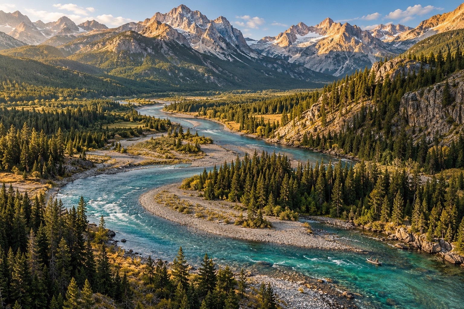
Mountain river landscape

FOR EVERY WAY YOU FISH

More than a
fishing app.

Your entire fishing day, in one place.

Check conditions and forecasts, explore access and available depth maps, plan a float, identify fish, ask Finn, and keep a catch journal.

Plan your kind of fishing day

All 50 states mapped. Plus Guam and Puerto Rico.

Streams and rivers
Lakes, ponds & reservoirs
Active USGS streamflow gauges
Public-access acres

Information and access vary by location; local access rules apply.

PERSONAL TO YOU

Your fish. Your preferences.

Find suggestions shaped by what you want to catch and how far you want to travel.

MORE WATER TO EXPLORE

Look beyond the obvious spots.

Explore small creeks, major rivers and lakes, then inspect the information available for each water.

A PLAN YOU CAN USE

Nationwide public-land maps.

Explore mapped public lands and access alongside available flow and species information.

Video Credit: “Big Rod”

FOUNDED ON A LOVE OF FISHING

Founded by a lifelong angler, environmentalist, and certified aquatic ecologist.

“I founded FishAtlas to share the joy I’ve found on the water. Fishing should be fun for everyone. My goal is to make useful tools approachable and affordable, so you can spend more time exploring, learning, and enjoying the day.”

Matt DeyoeFounder and CEO, FishAtlas

MAKE THE DAY YOURS

Features

See how FishAtlas helps you plan, learn and remember your day.

YOUR FISHING DAY

Find water that fits you.

Choose your fish, water type and travel range. FishAtlas brings available fish information, fishing access and water conditions together to help you compare places to fish. Recommendations depend on available data and are not a complete list of nearby waters.

WATER DEPTHS

See what’s beneath the surface.

Explore available depth shading, contours, and labels for supported waters. These examples show San Francisco Bay and Lake Sammamish.

MORE WATER IN VIEW

Find your next water.

Browse the waters in view, filter by water type, size, or fish, and compare color-coded condition markers over different map styles.

CREEKS, RIVERS & LAKES

A small creek can hold a big day.

Explore beyond the familiar rivers. Tap a creek, river or lake to see its available conditions and local fishing details before you commit to the drive. USGS gauges show the latest available streamflow reading and its update time.

Water conditions · Weather & wind · Fish species · Access & rules · Flow & gauges

PLAN THE TIMING

Know when to go.

Start with the weekly view to compare upcoming days and fishing windows. Then look farther ahead with the monthly calendar and selected-day details.

LAUNCH TO TAKE-OUT

Plan a route with time to fish.

Choose your put-in and take-out, then account for your pace and fishing time. Review the resulting route estimate where connected river data is available.

THE WAY IN

Find the water. Check the way in.

A promising stretch is only useful if you can reach it. Explore public-land boundaries and mapped fishing access, then save your map area before leaving service.

KNOW WHAT YOU’RE LOOKING AT

Put a name to what you find.

Not sure what you caught, what is hatching or what to tie on? Explore fish, aquatic insects, flies and lures to understand what you are seeing and the tackle you are considering.

fish profiles
fly patterns
lures
aquatic organisms & life stages

PHOTOS, FISH & PLACES

Keep the catch and the place together.

Keep the photo, species and location together. Revisit a memorable fish in your journal, or find the water again on your saved-catches map.

Finn, the FishAtlas fishing companion

KEEP LEARNING WITH FINN

Your fishing companion, at every stage.

Meet Finn. Get guidance for your next step, whether you’re new to fishing, building your skills or have fished for years.

  • Getting startedBuild confidence with the basics.
  • Building skillsExplore techniques and understand your tackle.
  • Always learningKeep discovering more about fish and water.

FISHATLAS

More fishing.
Less subscription.

Maps, field guides, float planner and your catch journal.

Included with Pro

  • Fish, fly and bug guides
  • Personalized fishing spots
  • Water depths (where available)
  • Offline map downloads
  • Float planner
  • Fishing weekly and monthly forecasts
  • Finn trip guidance
  • Fishing journal
  • Public land maps
  • USGS streamflow stations
  • Estimated streamflow on supported streams and rivers

FishAtlas Pro pricing

Choose your plan, then start your 7-day free trial.

$39.99 / year$3.33/month equivalentAnnual plan

$7.99 / monthMonthly plan

Follow FishAtlas to see when it is available on the App Store